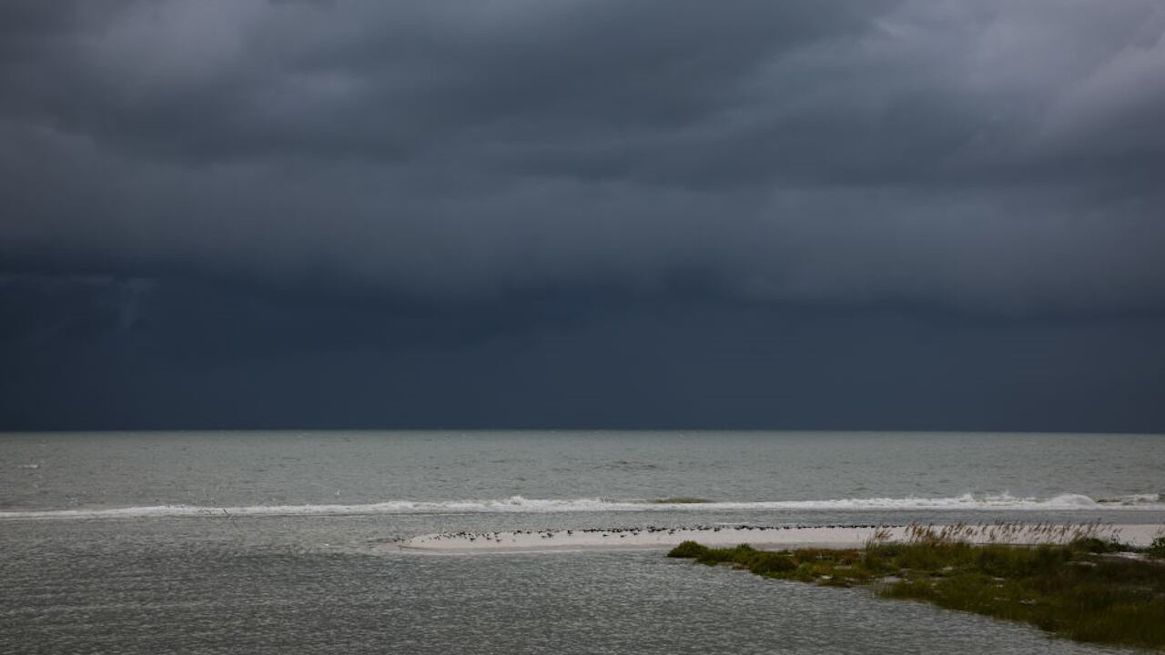
While the Big Bend region of Florida prepared for the possibility of the first direct hit by a hurricane in more than a century, residents along the state’s west coast were wary of Hurricane Idalia’s “dirty side.”
So, what exactly is the “dirty side” of a hurricane?
It is considered to be the right side, or the upper-right quadrant in the direction the storm is traveling, the Miami Herald reported. While the winds near the center of a hurricane can be the most destructive, the dirty side also includes powerful winds, heavy rain and the highest risk for tornadoes, according to the newspaper.
#WeatherExplained: Tropical Cyclone Quadrants (2023 Edition)
— Sammy Hadi (@SammyHadiWx) August 28, 2023
A closer look at Tropical Storm #Idalia's quadrants as the system moves northward into the Gulf of Mexico on approach to Florida's Big Bend region. pic.twitter.com/RguyhSaeuA
According to the National Oceanic and Atmospheric Administration, if a hurricane is heading north -- like Idalia -- the right side would be east of the system.
That means that the west coast of Florida, which includes the Tampa Bay metropolitan area, may escape the heaviest winds but might be impacted by storm surges sweeping into the waterways. Even inland areas like Orlando and Gainesville could be impacted by Idalia’s dirty side, along with areas of Georgia and South Carolina after the storm makes landfall.
Because hurricanes have a counterclockwise movement, the winds on the dirty side blows onshore, pushing water onto the land, WTSP-TV reported.
“It’s kind of slang-ish, but it just means that the worst of the storm surge and the wind are usually to the east of the center as the center approaches the coast,” Mike Clay, chief meteorologist for Spectrum Bay News 9 in the Tampa Bay area, told the Tampa Bay Times.
Have you been hearing forecasters on TV say that Tampa Bay is going to get hit by Idalia's "dirty side?" So what does that mean?
— Tampa Bay Times (@TB_Times) August 29, 2023
Find out here: https://t.co/9y1SjW17zs pic.twitter.com/rAQRAIcoNW
For Florida’s Gulf Coast, most storm surges occur south of the eye of the hurricane, the Herald reported. For the east coast of the state, storm surges happen north of the eye.
“Water is going to be pushed counterclockwise onto our coastlines from Sarasota all the way to Pinellas and even in Citrus County,” WFLA-TV meteorologist Eric Stone said. “If you’re on the east side of a storm, typically you get a little bit more in the way of rain.”
When rain bands over water come on shore, the friction of land causes spin-up, Stone said. That can lead to isolated tornadoes.
All quadrants of a hurricane will contain dangerous weather, with storm surge posing the biggest threat to residents, the Herald reported.
“There is the potential for tornadoes and overnight tornadoes with that, so we want to make sure people are aware of that risk and have a way to receive those warnings,” Ali Davis, a meteorologist with the National Weather Service’s Tampa Bay office, told the Times.
© 2023 Cox Media Group


